
From trendy sushi restaurants and free museums at historic schnapps distilleries in Kreuzberg to modern restaurants with a turbulent past in Mitte —these two Berlin neighborhoods have a lot to offer. But did you know that around 1900, another neighborhood stretched across the area now occupied by the districts of Mitte and Kreuzberg? Luisenstadt was once one of Berlin’s largest and most densely populated areas. In 1900, a total of 306,512 people lived here. But just 20 years later, as part of a comprehensive administrative reform, the district disappeared from the map of Berlin as an independent administrative unit.
Today, many Berliners are barely aware that Luisenstadt ever existed. Yet traces of its history can still be found right in the heart of the capital. The history of Luisenstadt dates back to 1802. On April 4, the area previously known as the Köpenick Quarter was named in honor of Queen Luise of Prussia , the wife of King Frederick William III. What was originally a predominantly rural area developed over the course of the 19th century into a densely built-up residential and commercial district.
With industrialization, the population grew rapidly. In 1900, Luisenstadt reached its historical peak with 306,512 residents, making it one of Berlin’s most populous neighborhoods. As late as 1910, 267,339 people still lived here. The neighborhood was characterized by closely packed residential buildings, densely populated backyards, artisan workshops, and factories. Often, apartments and workplaces were located on the same property. This close integration of residential and commercial life later became known as the “Kreuzberg mix.”
The decisive turning point in the history of Luisenstadt occurred on October 1, 1920. Under the so-called Greater Berlin Act, numerous previously independent cities, rural municipalities, and estate districts were merged with Berlin. At the same time, the capital was comprehensively reorganized and divided into a total of 20 administrative districts. For Luisenstadt, this reform meant the end of its previous administrative unit. The historic neighborhood was not assigned its own district but was divided between two new administrative districts. While the northern part was assigned to Mitte, the southern part became part of Kreuzberg. Thus, Luisenstadt disappeared as an independent administrative unit from the official city structure. However, the neighborhood was neither demolished nor abandoned. Its streets, buildings, and residents remained. Only the administrative boundaries and jurisdictions changed. Nor did the historic name fall completely into oblivion.
But the administrative reform of 1920 was not to be the last division of Luisenstadt. After World War II, the border between the Soviet and American sectors ran through the historic district. From then on, the northern part belonged to East Berlin, while the southern part lay in the western part of the city. With the construction of the Berlin Wall in 1961, this division finally became physically visible. The area along the former Luisenstadt Canal was particularly affected. The waterway, which opened in 1852, had already been largely filled in between 1926 and 1929 and subsequently converted into a park. While boats once navigated these waters and later walkers strolled along them, during the division of Germany the border strip with its barriers ran through parts of the area. It was not until the fall of the Berlin Wall in November 1989 that the parts of the historic district, which had been separated for decades, were able to grow together again.
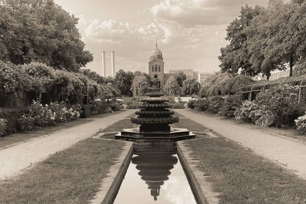
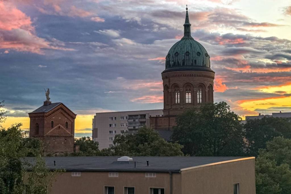
Although Luisenstadt has not been a separate Berlin district for more than a century, traces of its history can still be discovered today. The former urban area spans parts of what are now the Mitte and Friedrichshain-Kreuzberg districts. Its history is particularly evident at the Engelbecken, which has been preserved or restored as part of the former Luisenstadt Canal. Today, it is part of a popular green corridor featuring walking paths and bodies of water.